After the purchase, you'll receive an email with the download link within 48 hours.
The download links use the HTTPS protocol. e.g."https://www.shoplack.com/file.iso"
Some of the old software before 2010 may not be able to install/run normally on x64 or Windows 10 systems. Be aware of it before purchasing it.
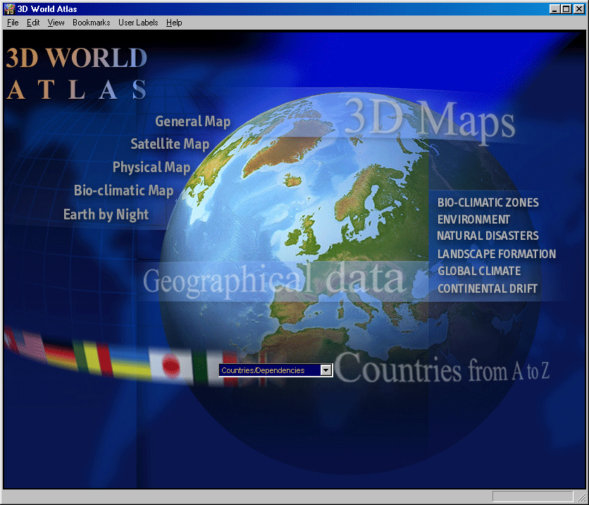
Eyewitness World Atlas presents geographical data as never before in a stunning fusion of style and content. From the global big picture to the smallest dependency, you can view the world through compelling cartographic maps, dazzling images and exciting 3D graphics, or explore the huge, encyclopedic database, using state-of-the-art software features. As a rich educational tool it will satisfy students of any age, and as an accessible information source it will be indispensable to all family members.
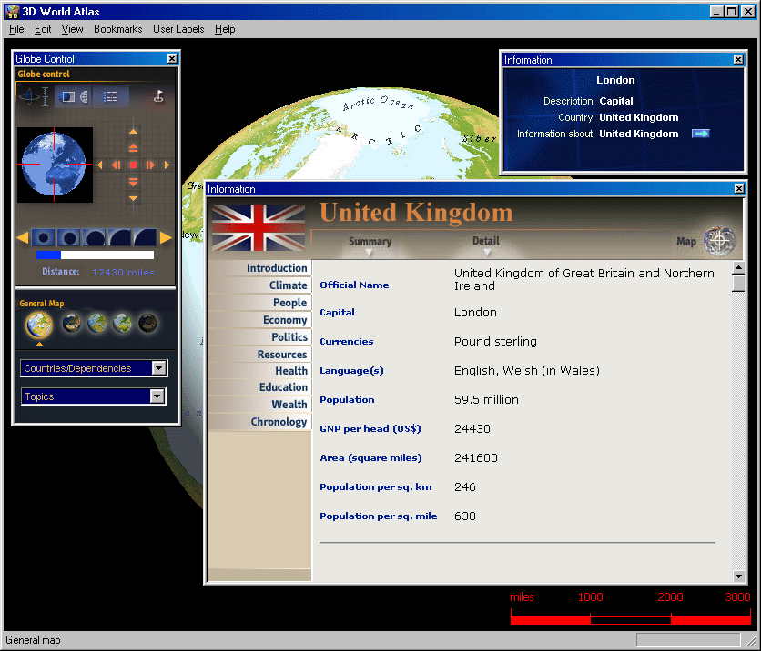
From Pole to Pole this stunning interactive 3D World Atlas is a complete concise and exciting way to explore the world. Featuring over half a million mapped locations, 3D World Atlas provides a level of detail to satisfy even the most demanding researcher. Discover in-depth geographical information on natural disasters, landscape formation and global climate. Or read comprehensive articles and statistics for almost 200 countries with overviews that cover politics, media, crime, history and more!
Educational Features:
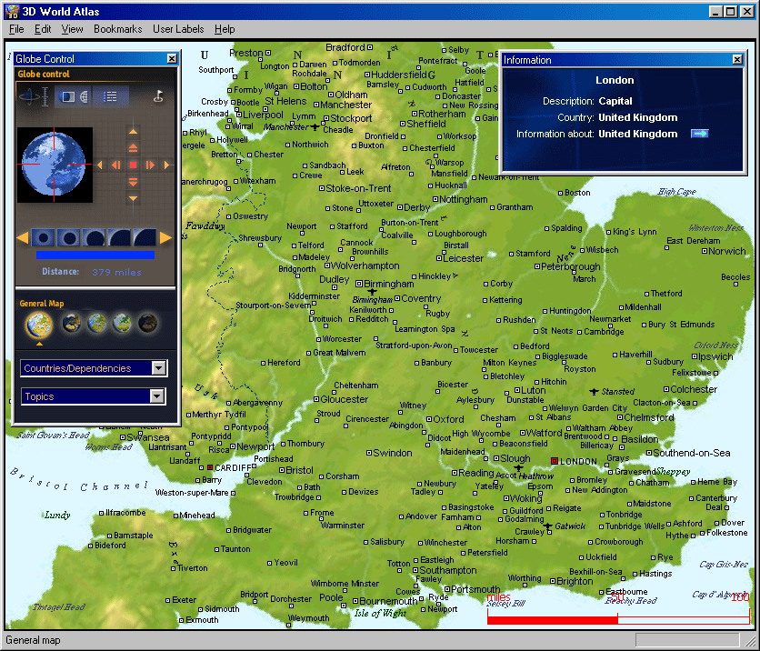
• General: Illustrates borders with over 400000 town and city names.
• Satellite: Shows international borders and physical features.
• Physical: Shows the forces that shape the Earth’s surface.
• Bio-Geographic: Shows the Earth’s biomes.
• Earth By Night: Shows a satellite view of lights from cities across the world.
Product Features:
• More than 60 full-color cartographic maps
• Nearly 1,000 charts and diagram
• Hotlinks lead you to helpful geographic information
• Flat maps rendered as 3D globes
• Unique ‘horizon’ view of planet Earth
• Shows latitude and longitude co-ordinates
• Measure distance between two or more locations
• Mark and label your favorite locations
• Print or copy maps text and graphics
• Supports school curriculum (grades 3-4)